Day
1 - 7 miles
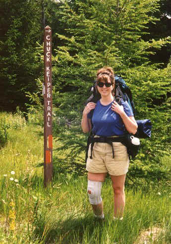
Began the hike at State Camp on Rt. 144
at the top of Hall's Run between S. Renovo and Snow Shoe. The first leg of the hike was on
the East Branch Swamp Trail for about 2 miles before connecting to the Chuck Keiper Trail.
We noticed that this connecting trail and part of the CKT was recently
cleared by a very energetic trail crew - much appreciated! A tornado
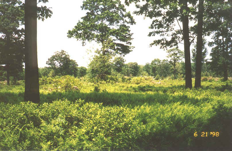 swept
through this area several years ago and the destruction is still quite
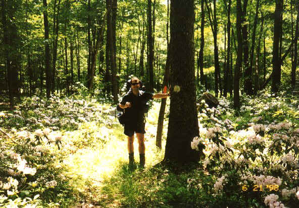
evident. The abundance of mountain laurel was breathtaking! swept
through this area several years ago and the destruction is still quite
evident. The abundance of mountain laurel was breathtaking!
The trail took us across the Beech Creek Road
and the Shoemaker Ridge Road before dropping into the Clendenin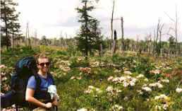 Branch of Baker Run - this
section of trail is also called The Four Ridge Trail. Here we stopped and ate lunch. Branch of Baker Run - this
section of trail is also called The Four Ridge Trail. Here we stopped and ate lunch.
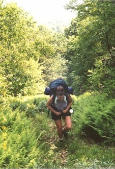
Climbing up the first ridge we came to a clear-cut left by a forest fire, a
few years ago. We also
 passed
by a recently drilled gas well. passed
by a recently drilled gas well.
We then dropped down into Cranberry Swamp. Here we stopped to take a break
on a wooden foot bridge. The humidity was outrageous and prime for thunderstorms.
Our next 4 miles were to be up and along a ridge but due to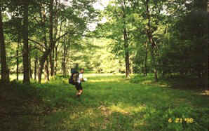 the rumbling of thunder and the danger of being up on the ridge, we opted to
make camp where we were.
the rumbling of thunder and the danger of being up on the ridge, we opted to
make camp where we were.
It was early in the afternoon
but the way this area's been hit by terrible storms lately, we
 decided to
stay low in the valley. decided to
stay low in the valley.
We no sooner set up camp and the rains came (we found out the next day that
2 tornadoes went through the area just several miles south of us!!!).
Because we were planning 11 mile days we had to remap our steps for the next
day.
Day 2 (5 miles)
We continued on the CKT which took us around Cranberry Swamp. Here we left the CKT and
picked up an unmarked trail which followed an underground natural gas pipeline up and down
and up and down the mountains.
This was a straight route back to the vehicle. The humidity was outrageous both days.
Day 2 (5 miles)
We continued on the CKT which took us around Cranberry Swamp. Here we left the CKT and
picked up an unmarked trail which followed an underground natural gas pipeline up and down
and up and down the mountains.
This was a straight route back to the vehicle. The humidity was outrageous both days. |